Best Fort Collins Trail Neighborhoods and Open Space
Do you picture stepping out your door and hopping on a trail for a quick run, bike ride, or sunset stroll? If you’re moving to Fort Collins, that vision is very realistic. The city weaves paved greenways, natural-surface paths, and protected open spaces through many neighborhoods, so you can connect daily life with the outdoors. In this guide, you’ll learn where to live for trail and open-space access, how the major corridors line up, and what tradeoffs to weigh before you buy. Let’s dive in.
Fort Collins blends three layers of access that shape your day-to-day:
Several named corridors help you orient:
Rules and seasonal notices vary by land manager. Trails and natural areas are overseen by the City of Fort Collins, Larimer County, Colorado Parks & Wildlife, Colorado State Parks, and in some cases homeowners associations. Always check current rules for dogs, bikes, and potential seasonal closures.
Set clear expectations as you compare homes:
These tiers help you balance lifestyle, budget, commute time, and risk factors like flood or wildfire exposure.
Below are four broad parts of Fort Collins that line up with the city’s major trail and open-space corridors. Use this as a map-style orientation as you start your home search.
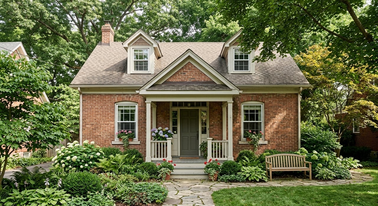
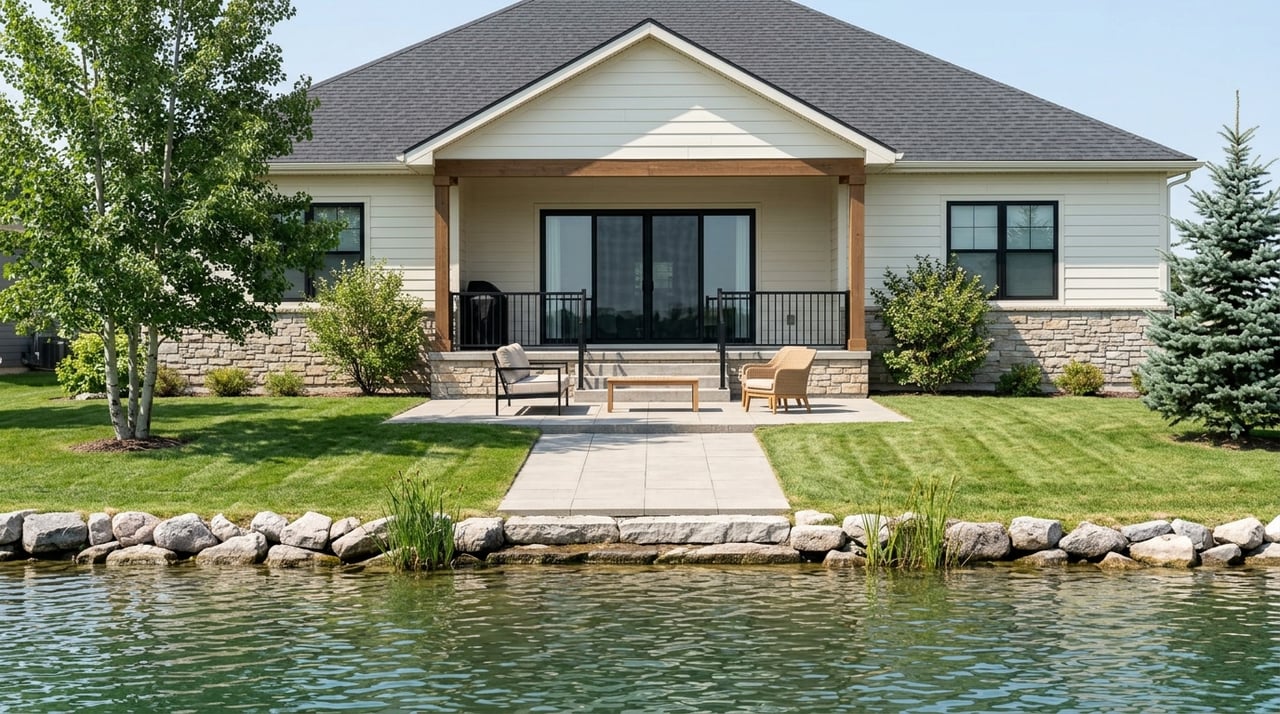
If you want an urban heartbeat with immediate greenway access, this is your spot. The Poudre River Trail traces the downtown riverfront, with Mason Trail connectors and strong bike infrastructure across central streets. You can walk or bike to groceries, restaurants, and the CSU campus while staying close to riparian habitat and river parks.
What to love: the ability to string together errands and recreation on paved paths, frequent bike-commute options to major employers, and lively amenities without relying on a car.
Things to weigh: older housing stock, tighter on-street parking in some blocks, and proximity to the Poudre River floodplain in certain areas. Plan to review FEMA flood maps during due diligence if you’re considering properties near the river.
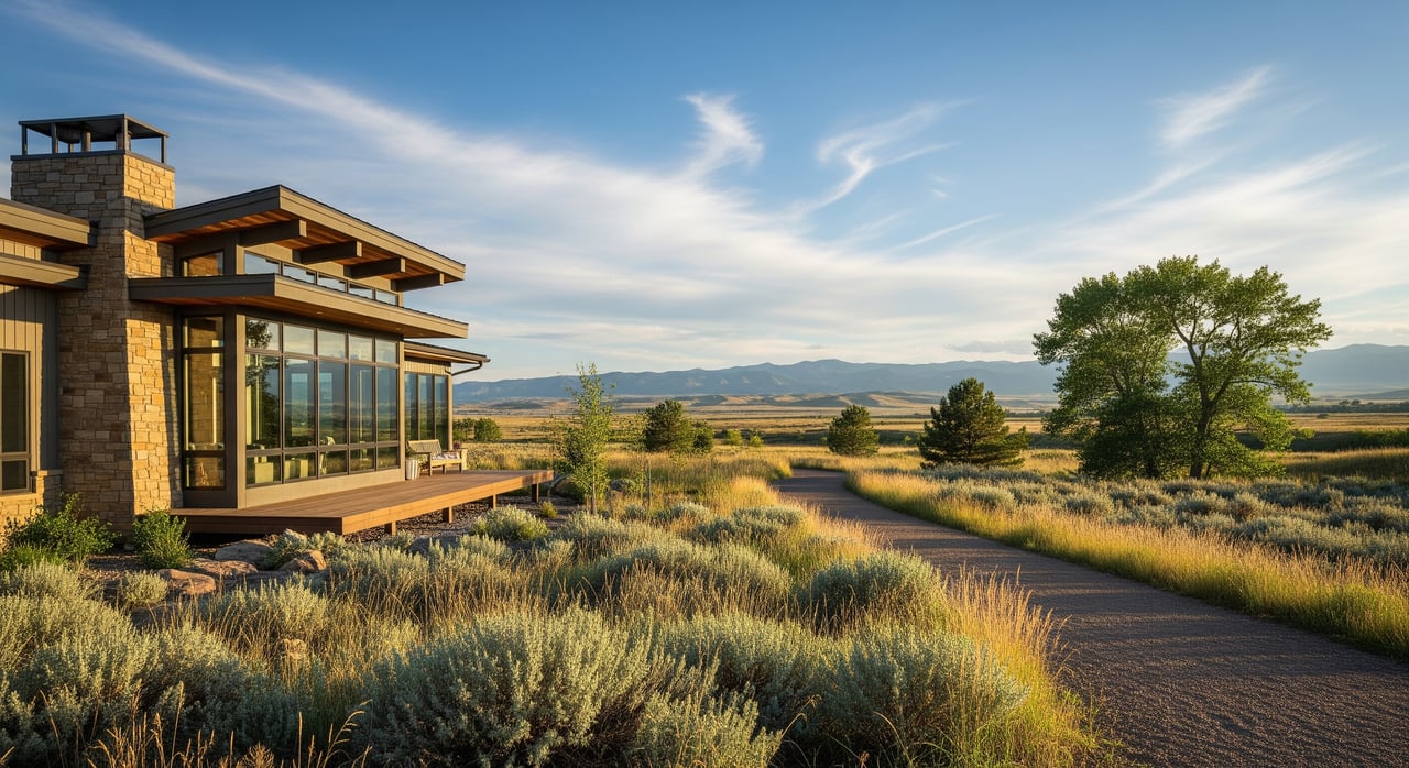
For quick access to trailheads and rugged terrain, look west toward Horsetooth Mountain Open Space and Lory State Park. Neighborhoods along the foothill edge often offer panoramic views and a short drive to the reservoir for water recreation. This area fits buyers who prioritize mountain biking, trail running, or climbing.
What to love: a daily routine that can include pre-work hikes, evening laps on foothill singletrack, and reservoir sunsets.
Things to weigh: higher wildfire exposure near the wildland-urban interface and the need for defensible space. Some trail systems see seasonal closures for wildlife management. Homes with immediate foothill proximity can command premium pricing, and terrain can affect yard usability and driveway slopes.
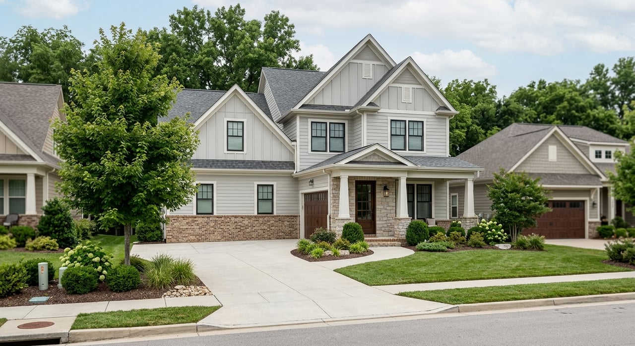
If you want broad paved trail connections and newer community parks, the south and southeast shine. The Spring Creek Trail and Fossil Creek Trail thread through suburban neighborhoods and link to larger greenbelts and regional parks, with connectors toward Timnath and Windsor.
What to love: modern subdivisions that emphasize path networks, easy bike access to shopping and services, and a range of neighborhood parks and open-space buffers.
Things to weigh: many communities are governed by HOAs that maintain internal trail segments and set rules for amenities. Growth corridors can include active construction and evolving traffic patterns as buildout continues.
For a more remote feeling close to town, look north and northwest toward Soapstone Prairie Natural Area and adjoining conservation lands. You’ll find expansive prairie vistas, wildlife habitat, and longer-distance trail options.
What to love: big-sky scenery, fewer crowds, and the ability to reach wide-open landscapes with a short drive.
Things to weigh: fewer conveniences within walking distance, longer drives to downtown and CSU, and conservation easements that can shape future development while preserving views.
Fort Collins supports bike commuting with a network that favors separation from traffic whenever possible. If a car-lite lifestyle is on your list, focus on homes near these corridors:
Secure bike storage is common in many apartment communities and around downtown businesses. Plan routes that maximize time on paved multi-use paths rather than relying only on painted on-street lanes.
Choosing a trail-first location comes with a few practical tradeoffs. Build these checks into your search and inspection timeline.
Proximity to the foothills, Horsetooth Reservoir, or premium riverfront sections often correlates with higher home values. If you want doorstep access, expect to compete in a tighter segment and consider smaller lots, older homes, or condos to stay on budget. If you’re flexible, stepping back to neighborhood or regional access can unlock more options while keeping your outdoor routine intact.
A smart approach is to prioritize your top two outcomes. For example:
Use this simple checklist when a home catches your eye:
If trails and open space are a must-have, mapping your daily routine to the right corridor will save you time and stress. A short call can refine your search to the blocks that deliver the access you want while keeping an eye on risk and budget. Connect with Rachel Vesta for a tailored neighborhood plan, touring strategy, and on-the-ground insight. We offer concierge-level buyer representation, relocation guidance, and bilingual support. Hablamos español.
July 23, 2026

July 16, 2026
July 9, 2026
July 2, 2026
June 25, 2026

June 18, 2026
June 4, 2026
May 28, 2026

May 21, 2026
My goal is to consistently deliver an outstanding real estate experience to each client, every time.